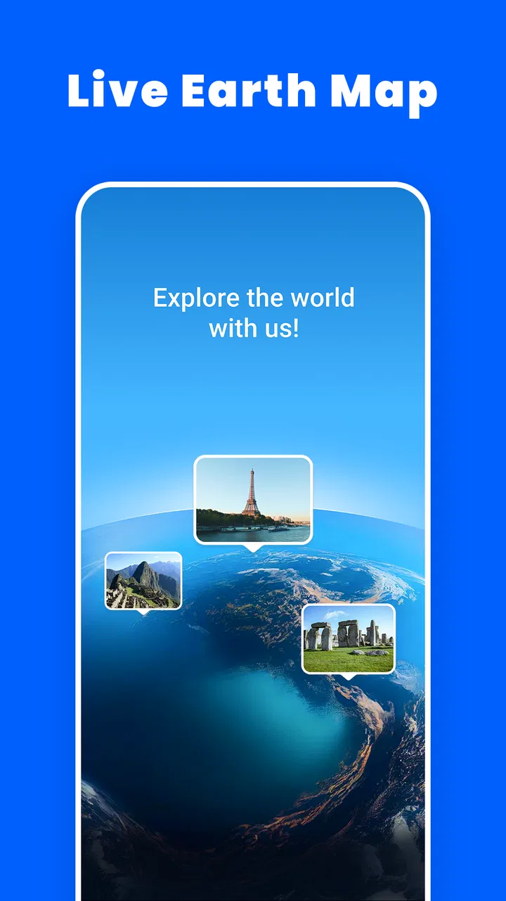
Live Satellite View: Earth Cam
- 4.1
- Rating
- 1.00M
- Installs
- Free
- Price

 Analysis by App-foxy
I approached Live Satellite View: Earth Cam as a visual mapping app rather than as a replacement for a dedicated navigation tool. Its appeal is easy to understand: open a map, move around the planet, switch between broad satellite imagery and street-level views where available, and use the earth as something you can explore instead of merely a route to follow. That makes it interesting for trip planning, geography, casual discovery, and checking the character of a place before visiting.
My experience was also a reminder that apps built around maps can feel confusing when the problem is not the app itself. A blank area, a slow image, or an apparently misplaced view may come from network conditions, the selected map layer, or the limits of available imagery. I found that a little patience and a consistent way of testing each view made the experience much smoother.
Getting past the first points of friction
The app comes from VidaTech and sits in the Maps & Navigation category. It is free to install, with optional purchases listed from $4.99 to $29.99 per item. The age rating is Everyone, and it runs on Android versions starting with 6.0. Those details make it approachable for families and older devices, although the quality of the experience still depends heavily on the phone’s screen, connection, and ability to handle map imagery comfortably.
You May Also Like

 Blood Strike: 2.5 Anniversary
Blood Strike’s Loadouts Turn Every Drop Into a Tactical Gamble
A close look at Blood Strike’s custom loadouts: how fast access to signature weapons reshapes its battle royale rhythm, rewards preparation, and narrows the gap between fights.

 Pandora - Music & Podcasts
Pandora’s Music Is Easy to Start, but Harder to Recover
Pandora’s strength is its low-effort path from a seed to a station. Its weak spot is how much confidence it asks you to place in connection, setup, and quiet recovery.

 8 Ball Pool
 Is Built on Rivalries, Rematches, and Routine
A close look at the rivalries, rematches, shared routines, and unanswered safety questions that turn a quick pool match into a persistent mobile community.

 Samsung Music
’s Quiet Strength Is Playing What You Already Own
Its reach comes less from spectacle than from dependable access to a personal library. That simplicity is both the app’s strongest retention engine and its ceiling.

 AccuWeather: Weather Radar
AccuWeather Review: A Quick, Clear Forecast for Everyday Decisions
For everyday plans, the best forecast is the one you can understand quickly. AccuWeather makes rain timing, radar, and local conditions easy to act on, with a few trade-offs.

 Hill Climb Racing
Why Hill Climb Racing Still Turns Crashes Into One More Run
A tiny car, a bumpy hill and one more upgrade: Hill Climb Racing keeps resurfacing because its simple chaos makes every near-miss feel personal.
More From Our News Desk



The first place I would expect a new user to hesitate is the difference between a satellite view, an earth camera-style presentation, and a street view. They are not interchangeable. Satellite imagery gives you a broad overhead impression, while a street-level view is useful for examining roads, buildings, and the feel of a location from ground height. A globe-oriented view is better for browsing continents and distant destinations. If you expect every place to open directly at street level, the app can seem inconsistent when it is actually changing between different kinds of geographic information.
Another common sticking point is navigation inside the map itself. Dragging moves the view, pinching changes scale, and tapping a location may lead to a more detailed presentation rather than simply placing a permanent marker. I recommend beginning with a familiar city or neighborhood. That gives you an immediate reference for judging whether the image is loading correctly and whether the controls are behaving as expected.
The most useful early habit is to test one location in more than one view before judging the whole app. Start with a broad satellite perspective, zoom in gradually, and then try the street-oriented option if it is available for that area. This separates a coverage limitation from a genuine loading problem and prevents unnecessary troubleshooting.
What I check before blaming the app
When imagery takes a while to appear, I first check whether other online content loads normally. Map imagery can be much heavier than a text page, especially after zooming quickly or moving across a large region. A connection that feels fine for messaging may still struggle with several image layers arriving in succession.
I also avoid making several rapid gestures while the map is still drawing. Moving from one continent to another, zooming repeatedly, and switching views in quick succession can leave the screen looking unfinished for a moment. Waiting for the current image to settle before making the next change is a small adjustment, but it makes the app feel more reliable.
If the display looks wrong, I return to a familiar place rather than continuing to explore an unfamiliar one. This is a practical diagnostic step: a known city gives me a stable comparison, while a remote landscape may simply have less detailed imagery or a different type of coverage. It is especially helpful when deciding whether the issue is a missing view or a temporary loading delay.
The current version is 1.3.4, and the app has a 4.1 average from around 3.3 thousand ratings, with more than a million installs. I read that level of adoption as evidence that the basic idea is accessible, not as a guarantee that every phone or location will behave identically. Map products are unusually sensitive to device age, connection quality, and regional imagery coverage.
A setup routine that saves time
My preferred setup is deliberately simple. I open the app on a stable connection, begin at a recognizable location, and let the initial map finish drawing before switching views. I keep the first search or exploration small rather than immediately trying to inspect an entire country. Once the controls feel familiar, I move outward and compare the broad image with the closer view.
This routine also helps answer a question many people have before installing: can the app be used for ordinary travel preparation? Yes, it can be useful for getting a visual sense of an area, checking the surroundings of a destination, or exploring a route conceptually. I would not treat it as the only source for turn-by-turn decisions, road closures, live traffic, or precise arrival planning. Its strongest role is visual context, not the complete set of tools found in a specialist navigation service.
For a family member who wants to see where a holiday destination is located, the earth-focused presentation is more inviting than a conventional utility map. For someone comparing hotels, neighborhoods, or landmarks, the satellite layer can provide useful context before opening a separate service for addresses and directions. The trade-off is that the app’s visual exploration can encourage browsing without giving the same depth of operational information as a dedicated navigation platform.
There is also a practical screen-size issue. On a small phone, detailed imagery and controls can feel crowded, particularly when I am trying to inspect a dense urban area. A larger display makes the app more enjoyable for exploration, while a compact phone is perfectly adequate for quick checks. I would avoid judging the experience only from a short glance at a single zoom level; the app’s usefulness changes considerably between overview browsing and close inspection.
Recovering when a view does not load properly
When an image stalled for me, I used a staged recovery process instead of repeatedly tapping the same control. First, I stopped moving the map and waited briefly. Next, I returned to a wider view and approached the location again more slowly. If that did not help, I switched to another presentation and then back. This often clarified whether the problem was a temporary rendering delay or simply limited imagery for the selected spot.
One non-obvious advantage of this approach is that it preserves your sense of orientation. Constantly jumping between locations makes it difficult to tell what changed. By returning to a known area, I could compare the result after each step. This is more useful than assuming that a blank image means the entire application has failed.
It is also worth distinguishing a map that is empty from one that is still incomplete. A partially drawn satellite image may fill in gradually, while a street-level option may not offer the same detail in every place. If the overhead view works but the closer view does not, I would interpret that as a coverage or layer difference before treating it as a technical fault.
For everyday use, I recommend preparing the visual area before you need it. If I am about to discuss a destination with someone, I explore it ahead of time rather than trying to load several locations during a conversation or while standing somewhere with a weak connection. This is not an offline promise; it is simply a way to reduce pressure on the moment when the app matters.
When the phone, connection, or expectation is the real issue
Map imagery places a different demand on a phone than a simple list or calculator. Older hardware may take longer to redraw after zooming, and a busy device can make the delay feel like an application error. Closing other demanding apps, keeping the map movement moderate, and allowing the current layer to finish are sensible general steps.
Connection quality is another outside factor. A signal can fluctuate while the phone remains connected, producing a map that looks frozen even though the request is still trying to complete. Testing the same location later or from a more stable network helps separate a temporary connection issue from a repeatable limitation. I would not repeatedly reinstall the app before making that basic comparison.
Location coverage can also create misleading expectations. A famous city may offer a richer visual experience than a remote road, and a broad satellite image may be available where a street-level perspective is not. That is normal for geographic imagery. The app is most satisfying when I use each layer for what it can show instead of expecting every place to have identical detail.
This is where the app differs from the usual alternatives. A conventional navigation app is better when the question is “How do I get there right now?” It normally prioritizes route calculation, directions, traffic context, and destination search. Live Satellite View: Earth Cam is more appealing when the question is “What does this place look like from above or from the street?” A globe or geography app may offer stronger educational explanations, while this one focuses more directly on visual exploration.
I would therefore skip it if your main requirement is dependable live navigation, detailed transit planning, or a single authoritative source for current road conditions. I would also be cautious about relying on a visual map alone for safety-critical decisions. The app can help me understand a place, but it should not replace local signs, official travel information, or a dedicated route service when accuracy and timeliness are essential.
Three practical ways I found to get more from it
- Use a two-pass inspection: begin wide to understand the neighborhood’s shape, then zoom in only on the streets or landmarks that matter. This avoids spending time loading detail that does not affect your decision.
- Compare layers as a verification step: if a location looks confusing from above, use the closer view to check the relationship between roads, buildings, and open spaces. The comparison is often more informative than either view alone.
- Keep a known-location test: revisit the same familiar place whenever the app behaves strangely. If that location loads normally, the issue is more likely tied to coverage, connection, or the selected area than to the basic controls.
A realistic example would be preparing for a visit to an unfamiliar neighborhood. I would first inspect the wider satellite view to see how the area sits beside major roads and open spaces. Then I would move closer to understand the immediate surroundings and try the street-oriented view where it is offered. If the image remains incomplete, I would not assume the destination is inaccessible; I would use a conventional map for the exact address and directions, keeping this app for visual context.
That workflow shows both the strength and the boundary of the product. It can make a destination feel more familiar before I arrive, which is valuable for travel planning, geography projects, casual learning, and conversations about places. It is less suitable as a one-stop tool for every map-related task. The best results come from pairing it with the right expectation and, when necessary, another service designed for routing or current local information.
My practical verdict for Android users
As a free Maps & Navigation app, Live Satellite View: Earth Cam offers an enjoyable way to explore the planet through visual map layers. I like it most when I have time to browse, compare an overhead view with a closer perspective, or get a quick impression of a destination. The Everyone rating and support for Android 6.0 or later also make it relatively easy to try on a wide range of devices.
The optional purchases, ranging from $4.99 to $29.99 per item, are worth considering before treating the free installation as the complete experience. I would first spend time with the basic exploration workflow and decide whether the app’s visual style fits my needs. If I only want occasional geographic browsing, the free starting point may be enough; if I need a full navigation toolkit, the purchase options do not change the more fundamental comparison with specialist mapping apps.
VidaTech has built something that is approachable but dependent on context. A stable connection, a suitable location, and realistic expectations about satellite and street imagery matter more here than they would in a simple offline utility. The app’s 1.3.4 release is a reasonable point at which to try the experience, while its 4.1 average and roughly 3.3 thousand ratings suggest a generally positive reception without making it universally ideal.
My recommendation is straightforward: install it if you enjoy visual exploration or want a second perspective on places you may visit. Start with a familiar location, move through the layers slowly, and use the recovery steps above when an image hesitates. Choose a conventional navigation alternative instead if your priority is live route guidance, traffic-aware travel, or highly operational map work. Used for the job it handles best, this app turns map browsing into a more engaging way to understand the world.
FAQs for Live Satellite View: Earth Cam
01What is Live Satellite View: Earth Cam?
Live Satellite View: Earth Cam is an app designed to let you explore satellite-style imagery, Earth views, and camera-based locations from your mobile device. During testing, it worked mainly as a visual exploration tool rather than a true real-time satellite monitoring service. The available content, map layers, and camera feeds may depend on your internet connection, device compatibility, and the app’s current data sources.
02Does Live Satellite View: Earth Cam show real-time satellite images?
The app should not be confused with a live military or continuously updated satellite feed. Satellite imagery is generally collected by mapping providers and updated periodically, while live camera sections may show locations through available webcams. As a result, images can be delayed, unavailable, or different from current conditions. Users should check the displayed date or source when accuracy and timeliness are important.
03Does the app require an internet connection?
Yes, an active internet connection is normally required to load maps, satellite imagery, location information, and online camera content. Performance can vary considerably between Wi-Fi and mobile data, especially when zooming, switching views, or opening multiple locations. Because image-heavy features may consume a noticeable amount of data, using Wi-Fi is recommended if you plan to explore the app for an extended period.
04Is Live Satellite View: Earth Cam free to use?
The app may offer free access to its basic exploration features, but some versions can include advertisements, optional purchases, subscriptions, or locked premium content. Pricing and available features may change between Android and iOS, so it is important to review the store listing before downloading. If a trial is offered, check its renewal terms carefully to avoid unexpected subscription charges.
05What permissions and privacy considerations should users know about?
Depending on the features enabled, Live Satellite View: Earth Cam may request permissions related to location, network access, notifications, or storage. Location access may help center the map on your current position, but it may not be necessary for general browsing. Before accepting permissions, review the app’s privacy policy and device settings, and disable access that is not required for the features you intend to use.
Pros
- Simple interface makes satellite imagery easy to browse.
- Useful for exploring landmarks and unfamiliar locations remotely.
- Location search helps users find places faster.
- Works as a relaxing virtual travel and discovery tool.
- Regular imagery updates may reveal changing landscapes over time.
Cons
- Image quality can vary significantly between different locations.
- Some areas may have outdated or low-resolution satellite imagery.
- Live viewing is not guaranteed despite the app’s name.
- Heavy map imagery can consume considerable mobile data.
- Some features may require in-app purchases or display frequent ads.

Live Satellite View: Earth Cam
Gallery